kottke.org posts about Earth
Ambient Earth is a 7.5-hour, real-time, 4K, remastered video of the orbital view from the International Space Station. Seán Doran took almost 49,000 images from 27 time-lapse sequences captured from the ISS by astronaut Butch Wilmore, repaired, remastered, and interpolated them into this incredible video.
Perspective is lost when the world speeds by. The scale and beauty of our home planet is truly appreciated when observed on an epic 7.5 hour journey from The International Space Station. This ambitious 4k compilation, crafted through months of meticulous restoration, invites you to slow down and experience Earth in real time just as astronauts do.
The video is accompanied by ambient audio recorded on the station by Chris Hadfield. This would be great for a screensaver, but after poking around for a bit, it doesn’t seem like there’s a good way to set a YT video as a screensaver on MacOS (without downloading it or having it be a livestream).
Using high-definition open source videos and photos from NASA and his own music, John Boswell (aka Melodysheep) created this mesmerizing eight-minute video recap of the Artemis II mission that enchanted us all back in the spring. Like all of his videos I’ve featured on KDO, this one is really well done.
See also Animated Artemis II Photos Reveal Satellites Buzzing Around Earth and Stunning Artemis II Phone Wallpapers. (via colossal)
Twice in the Earth’s history, massive ranges of supermountains have formed on ancient continents.
Studies like these point to something we do know for sure: from the highest peaks to the smallest cells, geology and biology are deeply intertwined. And while it’s often said that we are stardust — built from elements forged in the hearts of dying stars — in a sense, we also might be supermountain dust.
They were perhaps as tall or taller than Everest but their distinguishing feature was their massive breadth — we’re talking ranges 5000 miles long, three to four times the length of the Himalayas — just a unbelievable volume of earth. And their formation may have “fueled two of the biggest evolutionary boom times in our planet’s history”.
That’s a lot of rock to erode — and, according to the researchers, that’s why these enormous mountains are so important.
As both mountains eroded away, they would have dumped tremendous amounts of nutrients like iron and phosphorus into the sea through the water cycle, the researchers said. These nutrients could have significantly sped up biological cycles in the ocean, driving evolution to greater complexity. In addition to this nutrient spillover, the eroding mountains may have also released oxygen into the atmosphere, making Earth even more hospitable to complex life.
I also learned about the Boring Billion from this video, a billion-year period of relative “tectonic stability, climatic stasis and slow biological evolution” nestled in-between the two supermountain eras.
Water World, created by Seán Doran from imagery captured by a NASA/NOAA weather satellite, is a gorgeous, swirling, painterly portrait of the Earth’s dynamic atmosphere. Doran calls it “a meditative slow gaze at Earth’s atmosphere, revealing the hidden depths of activity in the water-filled skies of planet Earth”. It’s 4K, so put it on the biggest screen you can find and just sit back and watch.
Ok, this is incredible: this person on Reddit discovered that if you take a bunch of the sequential photos of the Earth captured by the Artemis II crew and animate them, you can see that some of what appear to be stars are actually satellites, buzzing around the Earth like flies. You can see them really clearly in Seán Doran’s remastered animation. Totally totally gobsmacking. Literally awesome.
NASA has made available more than a dozen mobile wallpapers of photos taken during the Artemis II mission for free download. Basic Apple Guy has made some wallpapers of his own (that are slightly larger than NASA’s and better for iPhones). I have also made a few of my own: Earth Rising Over the Moon With the Orion Capsule in the Foreground, A Sliver of Earth Over the Moon, and Kubrickian Earth.
Here are a few of my favorites:


Interstitial tip: if you’re using an iPhone with iOS 26, tap the Spatial Scene button when you’re editing your wallpaper and the phone will turn any of these images into a 3D-ish scene that moves when you move your phone. Works best with images containing multiple objects (like the Earthrises). Makes you feel a little bit more like you’re there. (This is also an amazing setup.)


These are all real photos, cropped from the originals shared by NASA on Flickr and their website.
I also went back and looked at some of the images from the Artemis I mission, which sent an Orion capsule around the Moon without a human crew. Here are a few wallpapers made from photos from that mission: Earth Moon Capsule, Lens Flare Trio, and Lunar Surface.


Again, these three are from the Artemis I mission in late 2022. The first one works especially well with the Spatial Scene mode on iOS 26.
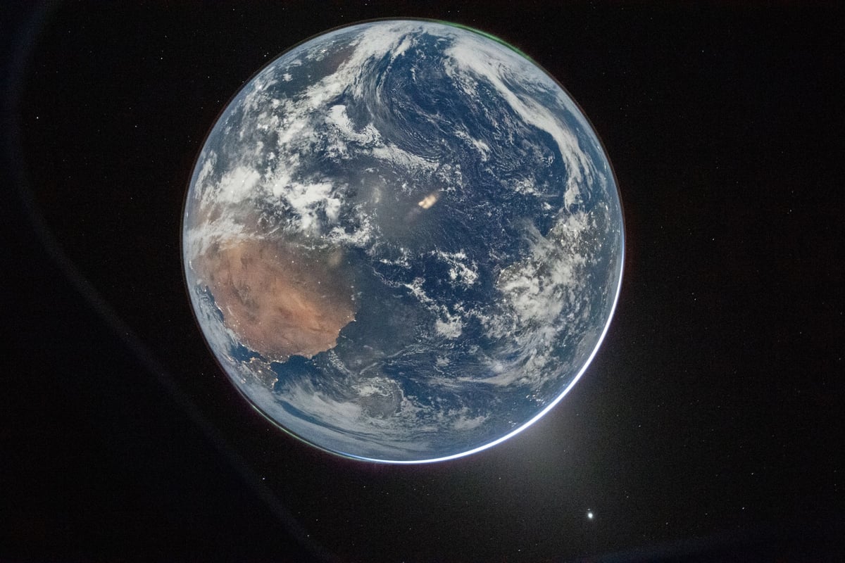
The commander of NASA’s Artemis II mission to the Moon, Reid Wiseman, took this photo of the Earth as the spacecraft speeds away our planet.
There are two auroras (top right and bottom left) and zodiacal light (bottom right) is visible as the Earth eclipses the Sun.
That is so cool. Worth clicking through to see the high-resolution image.
During her time aboard the International Space Station, NASA astronaut Loral O’Hara took a series of photos of the Earth from directly overhead. Seán Doran has stitched those images together into a gorgeous 4K video of a journey across North America, from San Diego to cloud-covered Quebec.
The footage is a simulation, converting an image sequence into video footage using image processing and animation. In reality this journey from California to Quebec took 11 minutes to traverse. In order to better appreciate the view this film slows that speed by a factor of 4.
Along the way, we’re treated to views of Joshua Tree National Park, the Grand Canyon, and the Rocky Mountains. Even the clouds are mesmerizing.
Using thousands of photos taken by NASA astronauts Butch Wilmor and Don Pettit earlier this year from the International Space Station, Seán Doran made this incredible timelapse called Light Fantastic.
21,837 images across 18 time-lapse sequences photographed by NASA astronauts Don Pettit and Butch Wilmore on January 1st, 4th, 5th and February 1st of 2025 are repaired, remastered and retimed to create 3x real time video footage. A method called frame interpolation is used to calculate the extra video frames required to re-create the smooth motion of ISS orbiting Earth. A real-time version of the film would be 4 hours 9 minutes and 30 seconds long.
The video captures incredible auroras, moonsets, nighttime city views, sunrises, and even more auroras, all set to the music of Chris Zabriskie.
Millions of years ago, the supercontinent of Pangea slowly started to break apart into the continents we all live on today. In this video from the makers of ArcGIS mapping software, you can watch as the reconfiguration of the Earth’s land happens over 200 million years.
Damn, India slammed into Asia like the Kool-aid Man — no wonder the Himalayas are so tall!
Once, the craggy limestone peaks that skim the sky of Everest were on the ocean floor. Scientists believe it all began to change about 200 million years ago — at around the time the Jurassic dinosaurs were beginning to emerge — when the supercontinent of Pangea cracked into pieces. The Indian continent eventually broke free, journeying north across the vast swathe of Tethys Ocean for 150 million years until it smacked into a fellow continent — the one we now know as Asia — around 45 million years ago.
The crushing force of one continent hitting another caused the plate beneath the Tethys Ocean, made of oceanic crust, to slide under the Eurasian plate. This created what is known as a subduction zone. Then the oceanic plate slipped deeper and deeper into the Earth’s mantle, scraping off folds limestone as it did so, until the Indian and Eurasian plates started compressing together. India began sliding under Asia, but because it’s made of tougher stuff than the oceanic plate it didn’t just descend. The surface started to buckle, pushing the crust and crumples of limestone upwards.
And so the Himalayan mountain range began to rise skyward. By around 15-17 million years ago, the summit of Everest had reached about 5,000m (16,404ft) and it continued to grow. The collision between the two continental plates is still happening today. India continues to creep north by 5cm (2in) a year, causing Everest to grow by about 4mm (0.16in) per year (although other parts of the Himalayas are rising at around 10mm per year [0.4in]).
See also Map of Pangaea with Modern-Day Borders, How the Earth’s Continents Will Look 250 Million Years From Now, and Locate Modern Addresses on Earth 240 Million Years Ago. (via open culture)
To mark the 10th anniversary of their YouTube channel, Kurzgesagt has released a video timeline of the Earth’s evolution, all 4.5 billion years of it. The video is 60 minutes long, which means that each second shows about 1 million years. And it’s kind of a music video…of sorts? There’s talking but there are definitely stretches of just music and visuals…it’s not your usual science explainer video.
Hop on a musical train ride and experience how long a billion years really is. It’s the perfect background for your next party, a great way to take a break from studying, or a fascinating companion while you’re on the go.
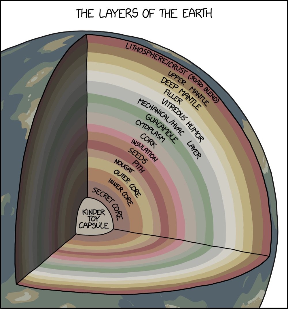
From XKCD, a 3D cutaway map of the many layers of the Earth, from the familiar crust around the outside to the more mysterious layers like nougat, vitreous humor, guacamole, and cork.
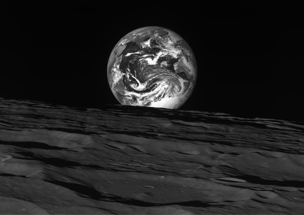
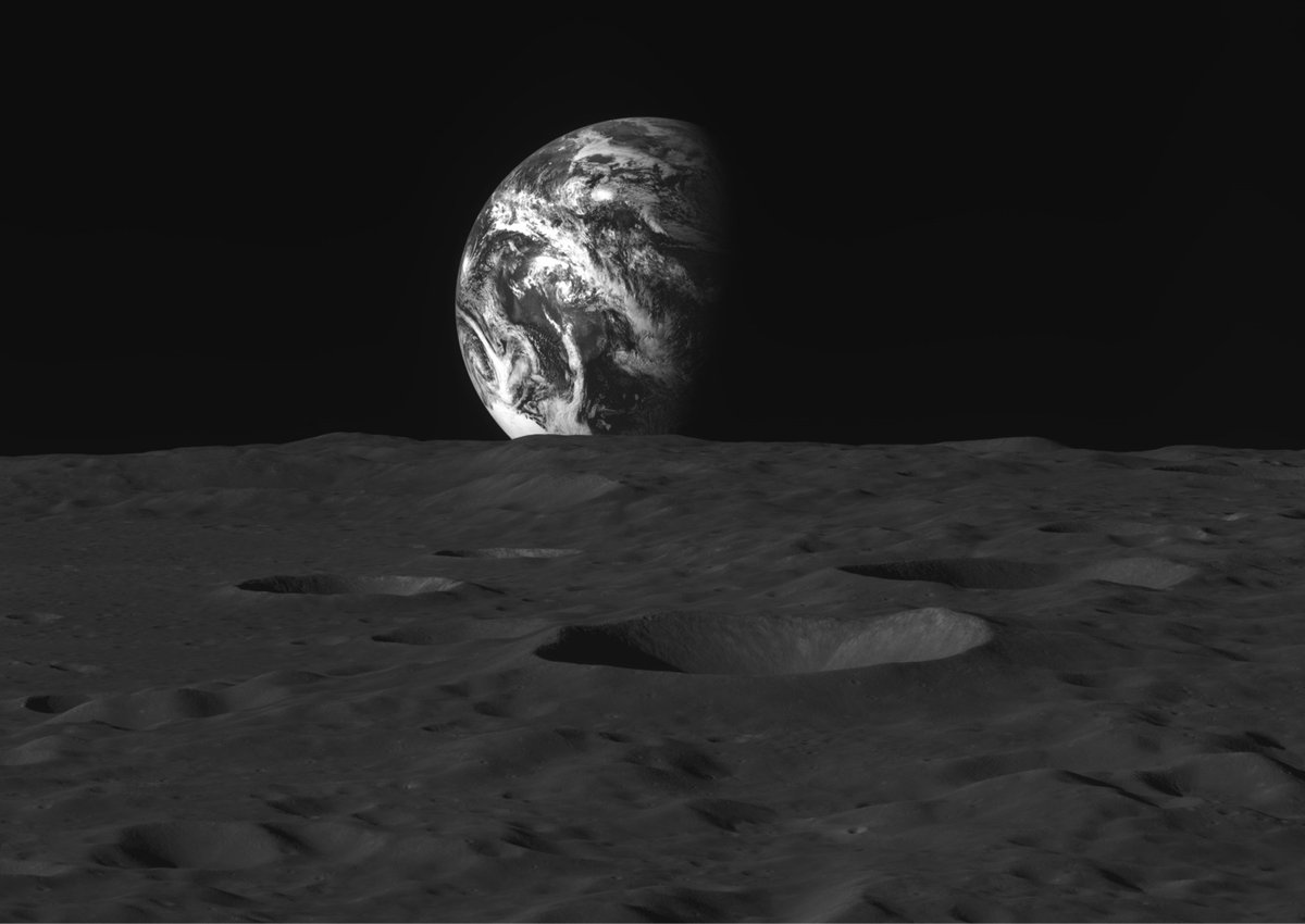
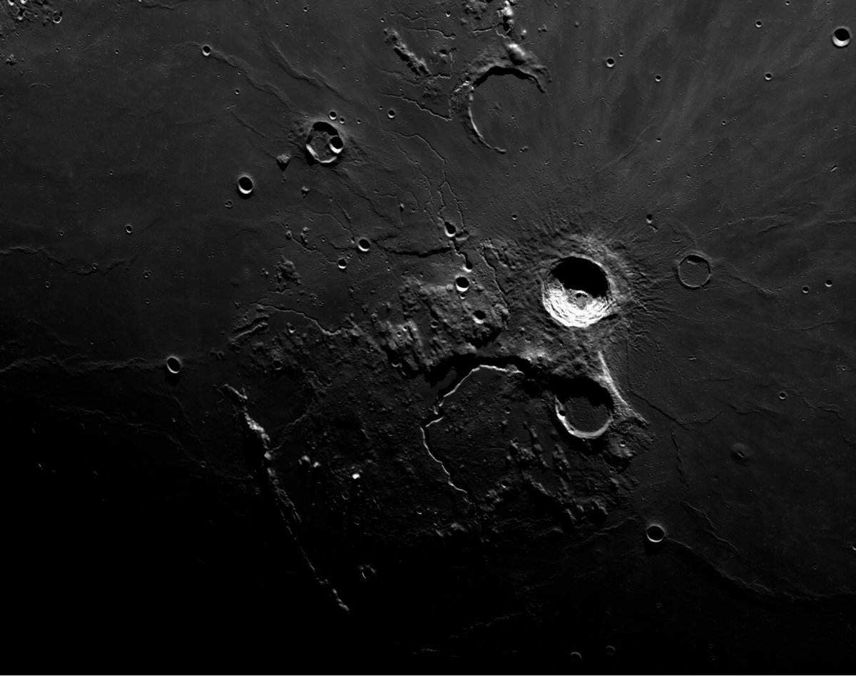
South Korea currently has a probe called Danuri orbiting the Moon at an altitude of about 62 miles above the surface. It’s just begun its mission but has already sent back some black & white photos of the Moon and the Earth, including the two above. Over at EarthSky, Dave Adalian says these shots “rival the work of legendary nature photographer Ansel Adams” and it’s difficult to disagree.
Also worth a look: Danuri’s shot of the Earth and Moon from a distance, hanging in the blackness of space like a pair of pearls. (via petapixel)
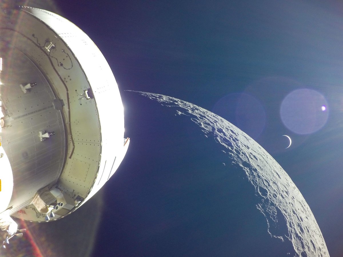
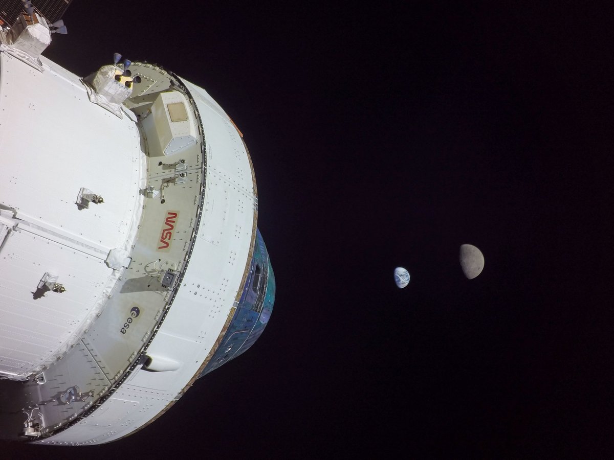
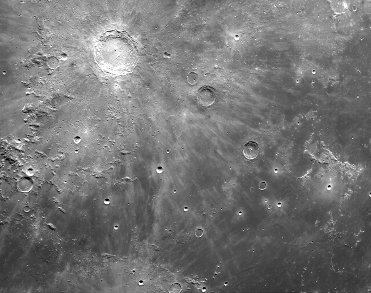
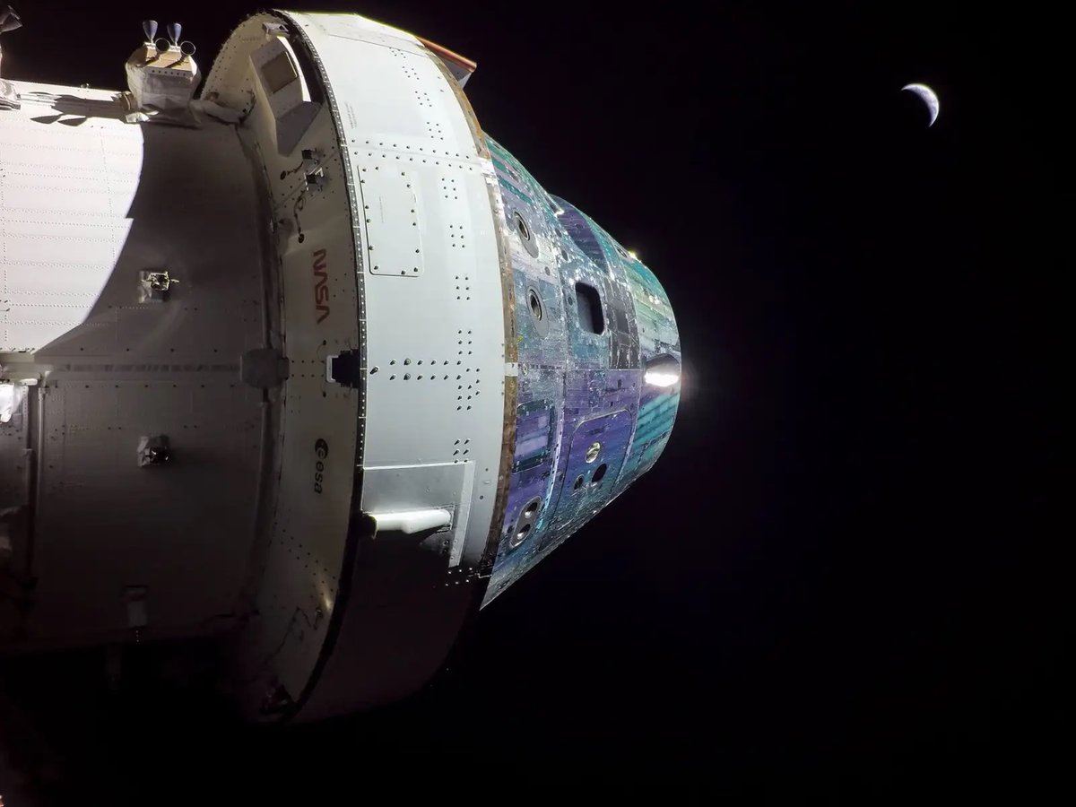
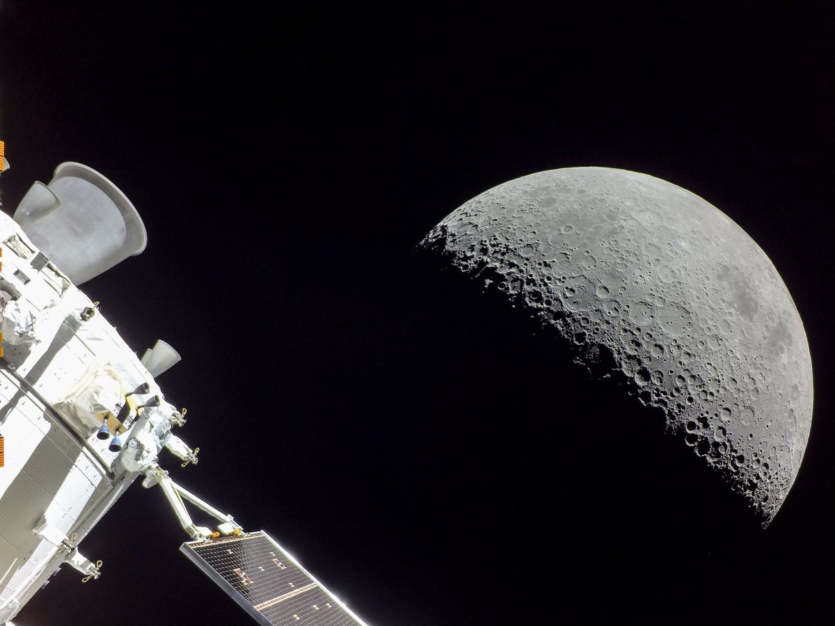
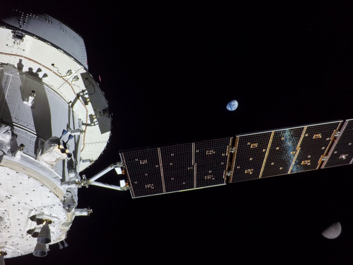
Over the weekend, NASA’s Artemis I mission returned from a 25-day trip to the Moon. The mission was a test-run of the rockets, systems, and spacecraft that will return humans to the surface of the Moon. Visual imaging has been an integral part of even the earliest space missions — strap a camera to a spacecraft, let the people see what space looks like, and they will be inspired. Well, the photographs returned by Artemis I’s Orion spacecraft have certainly been inspirational. Working from NASA’s archive of images (on Flickr too), I’ve selected some of the most interesting and dramatic photos from the mission. The one at the top, showing a crescent Earth rising over the Moon’s surface, might be one of my favorite space photos ever (and that’s really saying something) — you can see a bigger version of it here.
Creative coder Neal Agarwal has launched his newest project: Asteroid Launcher. You can choose the asteroid’s composition (iron, stone, comet, etc.), size, speed, angle of incidence, and place of impact. Then you click “launch” and see the havoc you’ve wrought upon the world, with all kinds of interesting statistics. I bombarded Los Angeles with an iron asteroid a half-mile across moving at 50,000 mph and the results were significant, as you can see from the fireball it created:
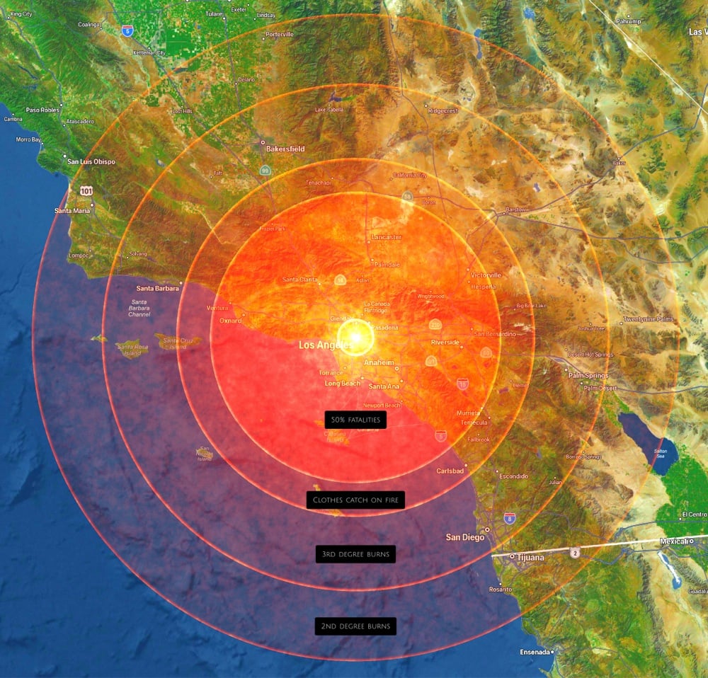
Some of the most interesting bits about the impact:
- The crater is 2,087 ft deep.
- Clothes would catch on fire within 86 miles of the impact.
- An estimated 4,343,300 people would die from the 249 decibel shock wave.
- Winds would reach 13,373 mph; within 105 miles it would feel like being inside an EF5 tornado.
Crikey! See also the description of the much more massive meteorite that slammed into the Yucatan peninsula 66 million years ago:
The meteorite itself was so massive that it didn’t notice any atmosphere whatsoever,” said Rebolledo. “It was traveling 20 to 40 kilometers per second, 10 kilometers - probably 14 kilometers — wide, pushing the atmosphere and building such incredible pressure that the ocean in front of it just went away.
And The World’s Loudest Sound:
The sound made by the Krakatoa volcanic eruption in 1883 was so loud it ruptured eardrums of people 40 miles away, travelled around the world four times, and was clearly heard 3,000 miles away.
Older posts







Socials & More