


The Collectively Drawn World
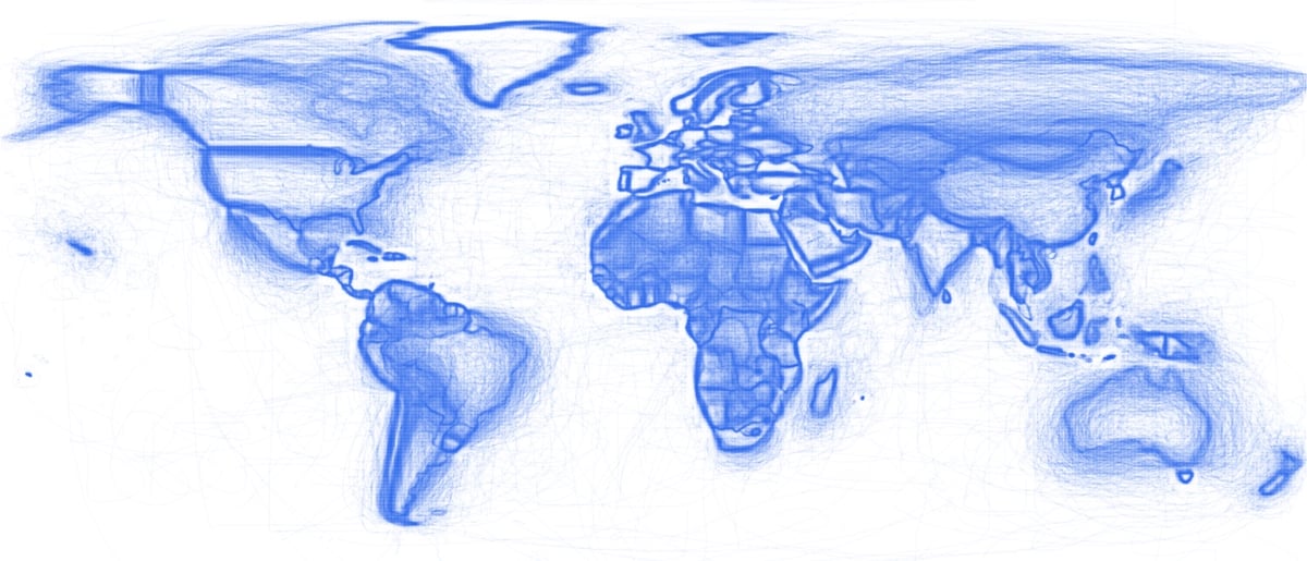
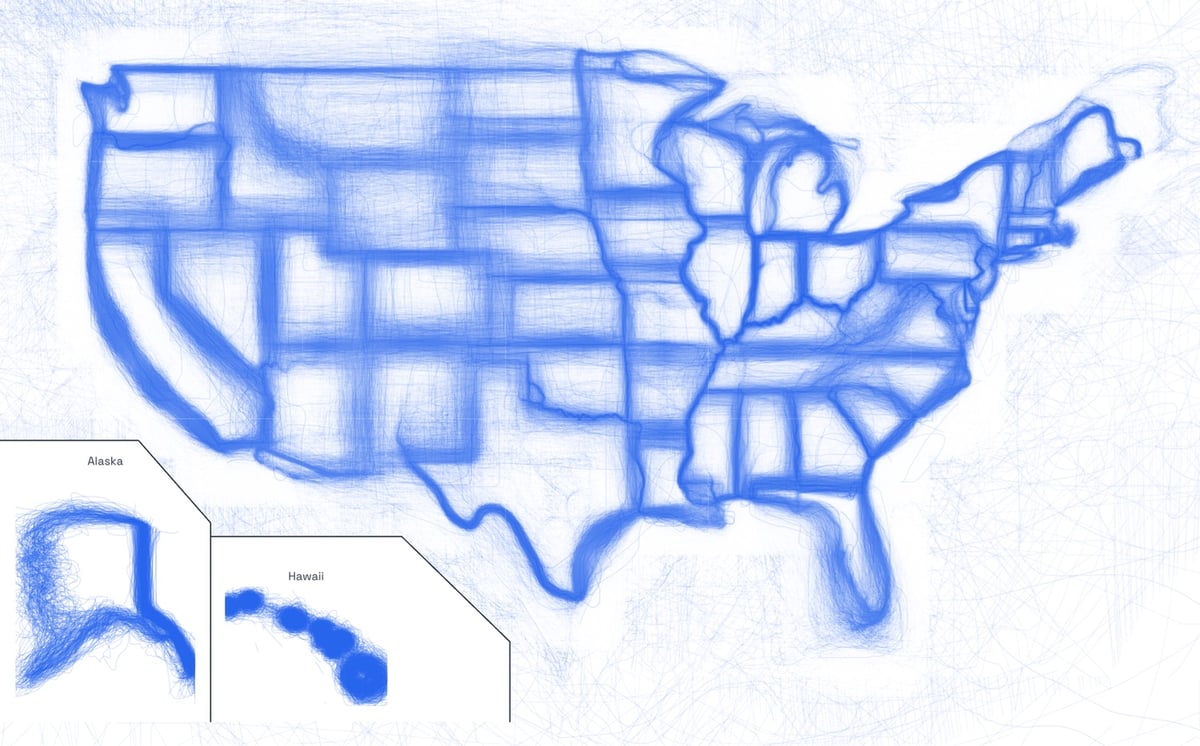
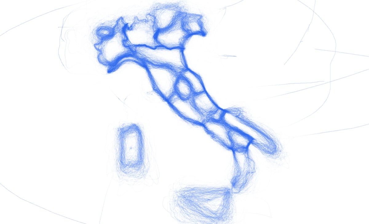
The Drawn Maps are the borders of the countries, state, provinces, and other official territories collectively drawn by more than 300,000 people playing an online daily game called Borderline. There’s a world map as well as maps of the USA, Canada, Italy, and more. There are also timelapse versions of some of the maps.
Comments 0
If you feel like this comment goes against the grain of the community guidelines or is otherwise inappropriate, please let me know and I will take a look at it.
In order to comment or fave, you need to be a kottke.org member. Check out your membership options.
Note: If you are a member and tried to log in, it didn't work, and now you're stuck in a neverending login loop of death, try disabling any ad blockers or extensions. Or try logging out and then back in. Still having trouble? Email me!