Stunning High-Resolution Lidar Images of Rivers & Deltas
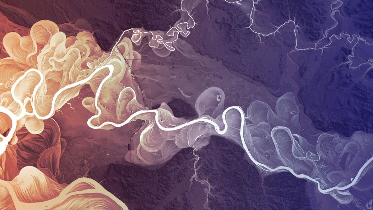

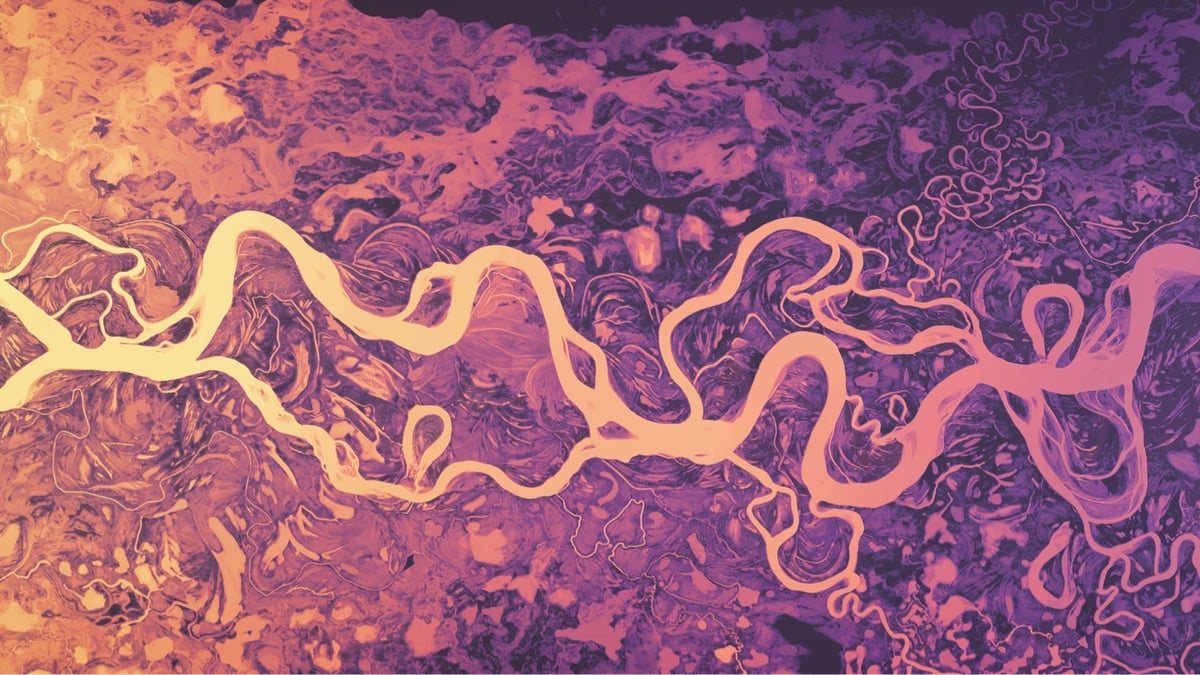

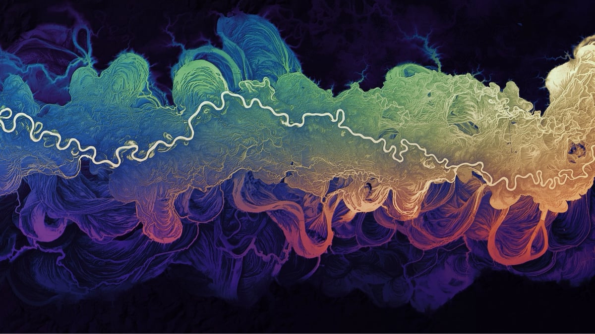
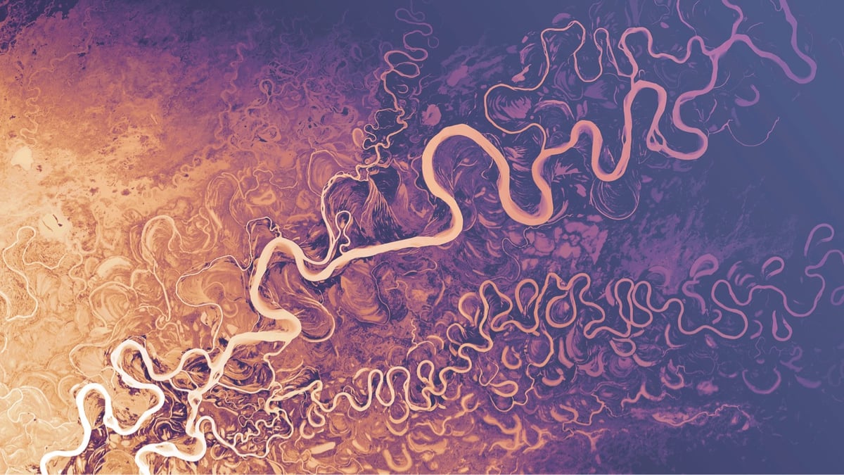
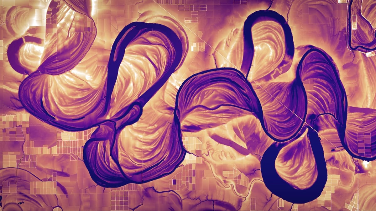
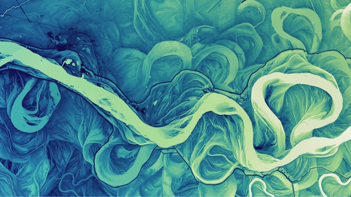
I cannot get enough of Dan Coe’s high-resolution images of rivers and river deltas constructed from lidar data. So swirly, swoopy, fractally, and squiggly! Many of these images are time machines, showing the various meanders these rivers took hundreds and thousands of years ago. As I wrote in a post about the Mississippi River meander maps designed by Army Corps of Engineers cartographer Harold Fisk:
Fisk’s maps represent the memory of a mighty river, with thousands of years of course changes compressed into a single image by a clever mapmaker with an artistic eye. Looking at them, you’re invited to imagine the Mississippi as it was during the European exploration of the Americas in the 1500s, during the Cahokia civilization in the 1200s (when this city’s population matched London’s), when the first humans came upon the river more than 12,000 years ago, and even back to before humans, when mammoths, camels, dire wolves, and giant beavers roamed the land and gazed upon the river.
Coe has put 4K versions of these images up on Flickr in both landscape and portrait aspect ratios. They work really well for computer and phone wallpapers — I’ve been using this one on various devices since I first saw it years ago.
Socials & More