Maps of Alternative Histories
For BBC Future, Sam Arbesman writes about “maps that plot alternative worlds to our own”.
These are the “what if” stories that ask us to imagine our world on a different path: what if a battle, election or assassination had gone the other way, or a pivotal person had never been born? Some of these stories involve time travel to make the change, but many alternate histories are simply imagined differences. What if the Nazis had not been beaten, as in the novel The Man in the High Castle, or what if the Soviets had landed a man on the Moon first, like in For All Mankind?
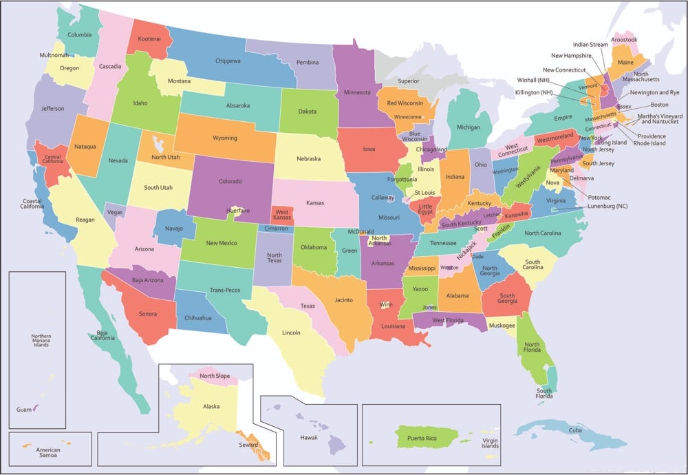
The map above was created by Andrew Shears and shows what the United States could have looked like if various state partition plans had come to fruition.
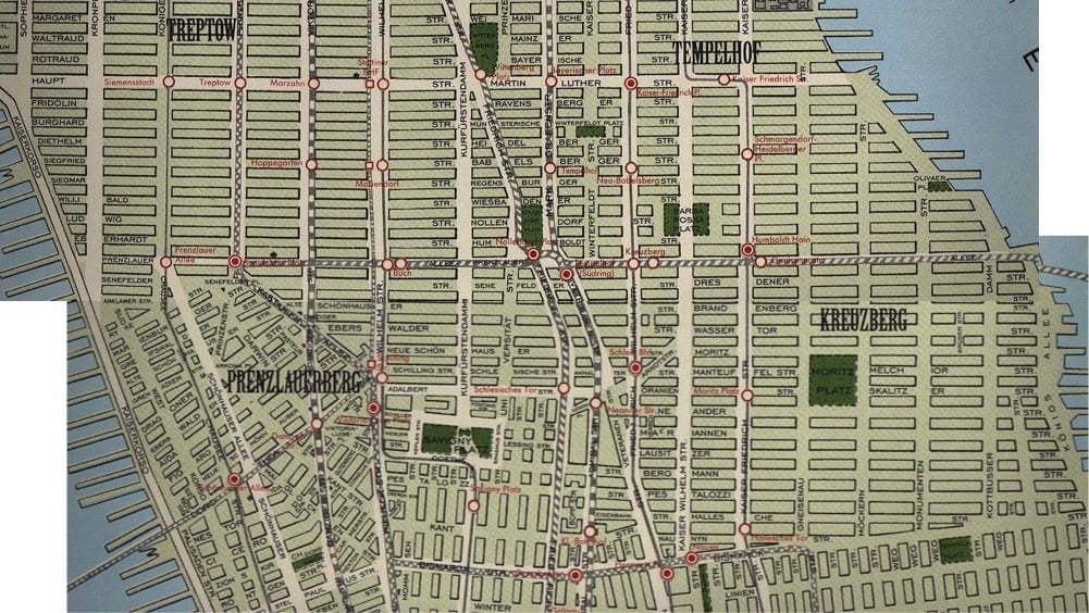
One of my favorite alternative history maps not covered by Arbesman is Melissa Gould’s Neu-York, a map of Manhattan after a hypothetical conquest of the United States by the Nazis in World War II (which I blogged about way back in 2003, when kottke.org had comments!)
See also Alternate Map of the Americas Features “Long Chile”.
Socials & More