What’s under the trees? LIDAR exposes the hidden landscapes of forested areas.
The Washington State Geological Survey is using LIDAR technology to study the geology of the land hidden under forested areas of the state. LIDAR is like radar, but instead of bouncing radio waves off of objects to detect their distances, you use lasers. When you shoot laser light at a forested area, most of it is reflected back by the trees. But some of it reaches the ground, so by measuring the light that’s reflected back from the lowest point, you get a very accurate map of the bare earth, sans nature. Using the LIDAR maps, they can study the course changes in rivers, landslides, volcanic lava flows, earthquake faults & fault zones, tsunami inundation zones, and glaciers.
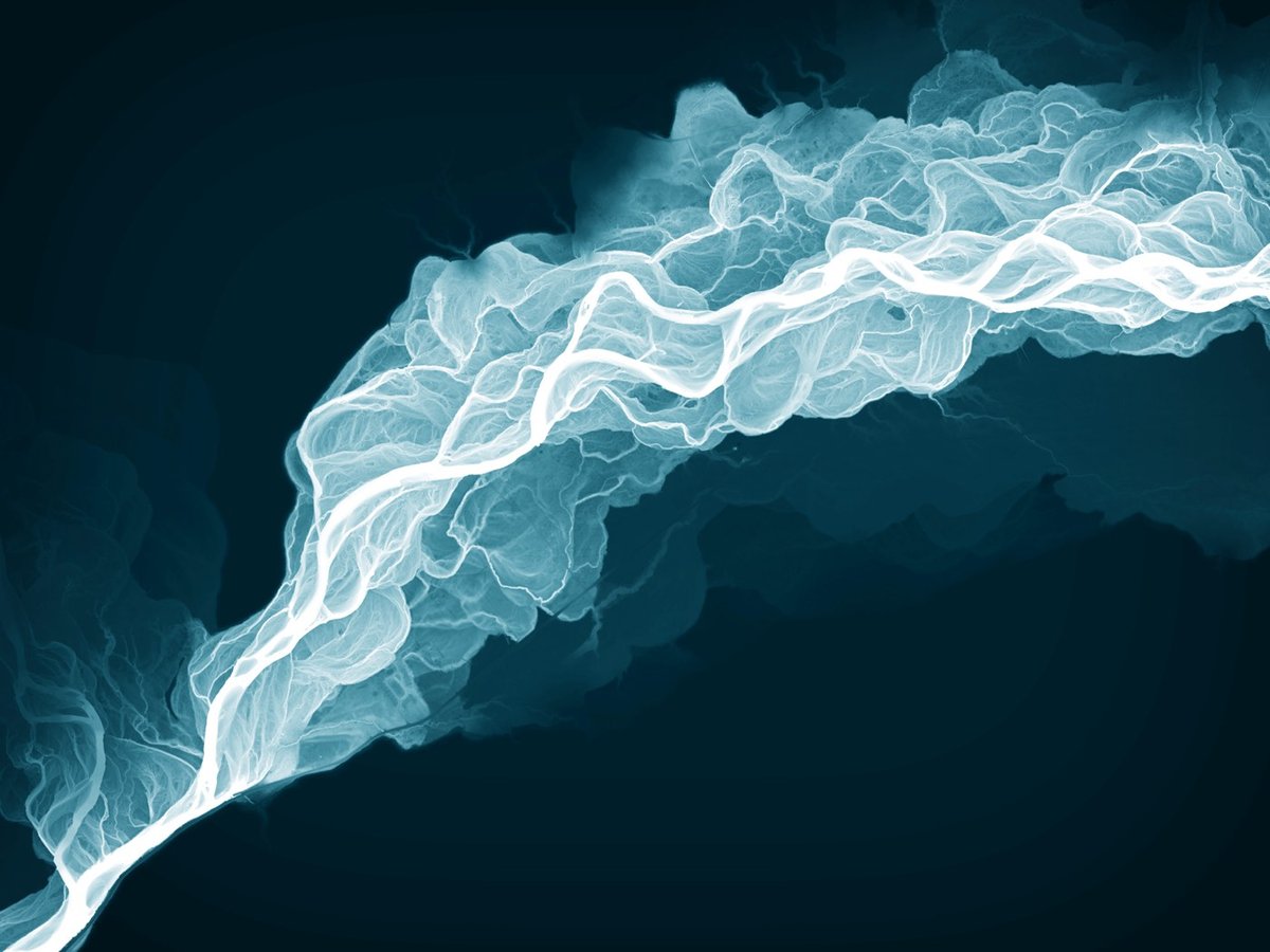
The beautiful photo at the top is a LIDAR image of the Sauk River and all its current and former channels…the bluish tint makes it look like an x-ray, which it pretty much is. It also reminds me of the meander maps of the Mississippi River made by Harold Fisk for the US Army Corps of Engineers.
Here are two images of Bainbridge Island:
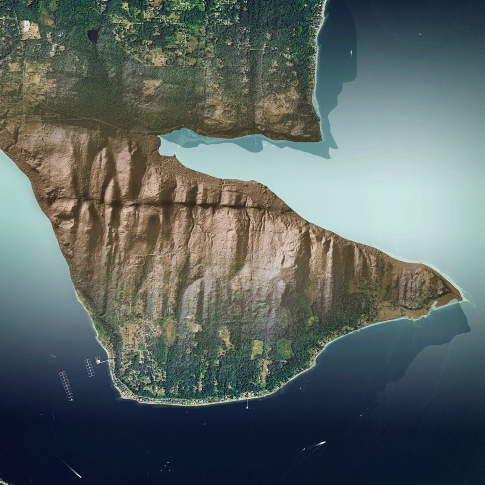
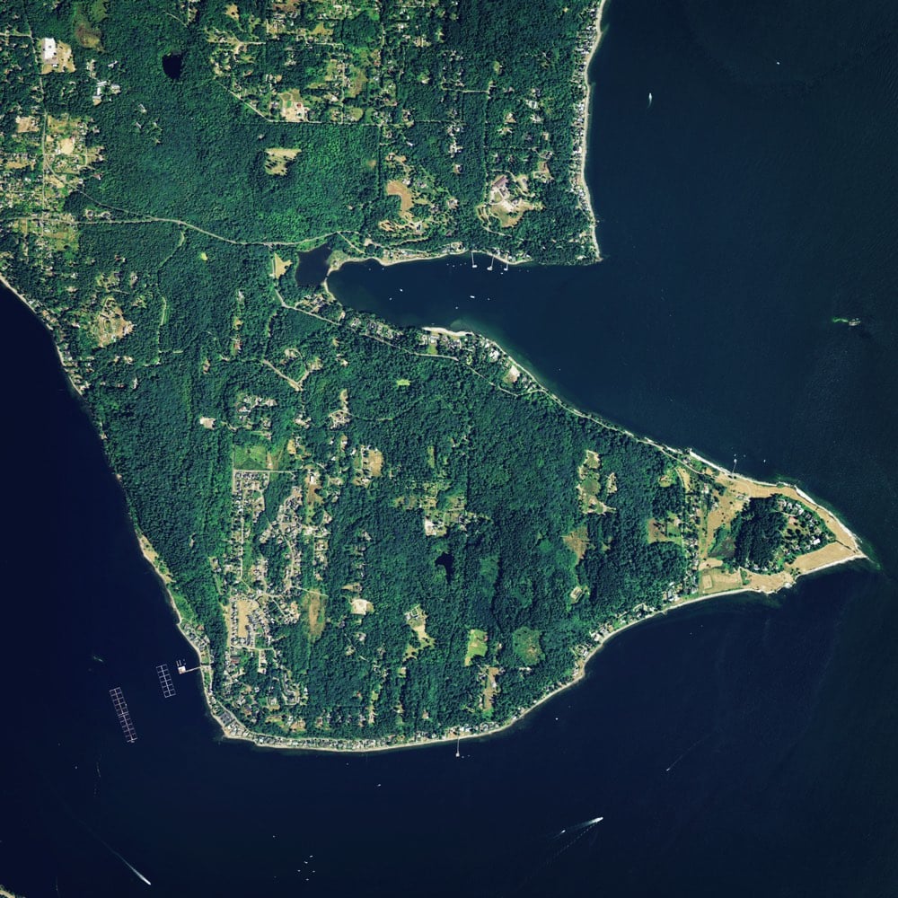
The LIDAR image clearly shows a horizontal earthquake fault scarp that’s completely hidden by the ground cover.
These two images are of drumlins left behind by a glacier:
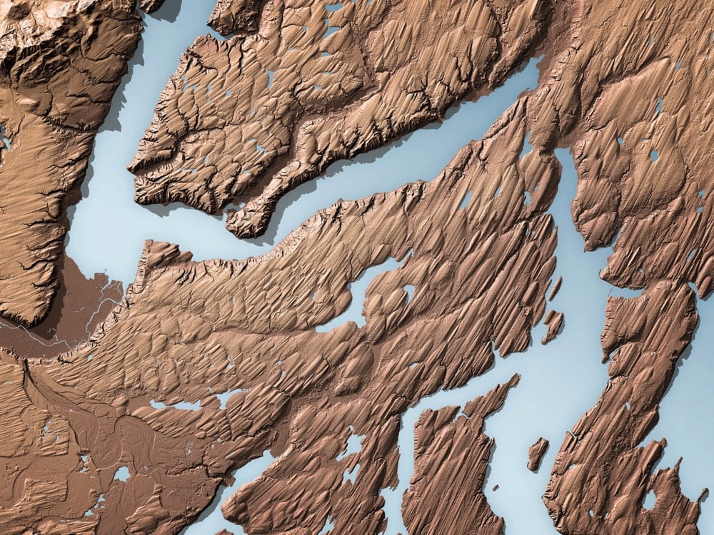
Again, the LIDAR image shows the movement of a long-gone glacier with stunning clarity compared to the satellite photo with ground cover.
Socials & More