Satellite Photos of Middle Earth
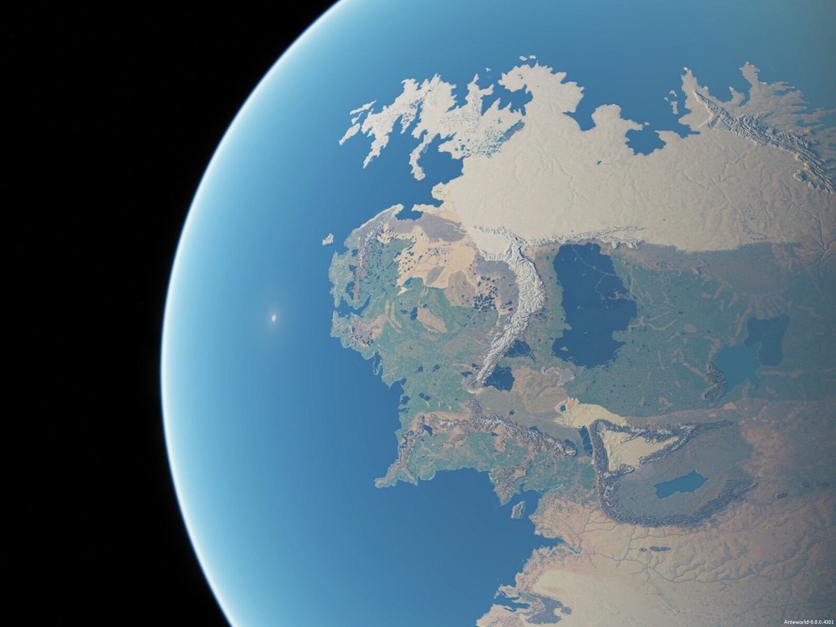
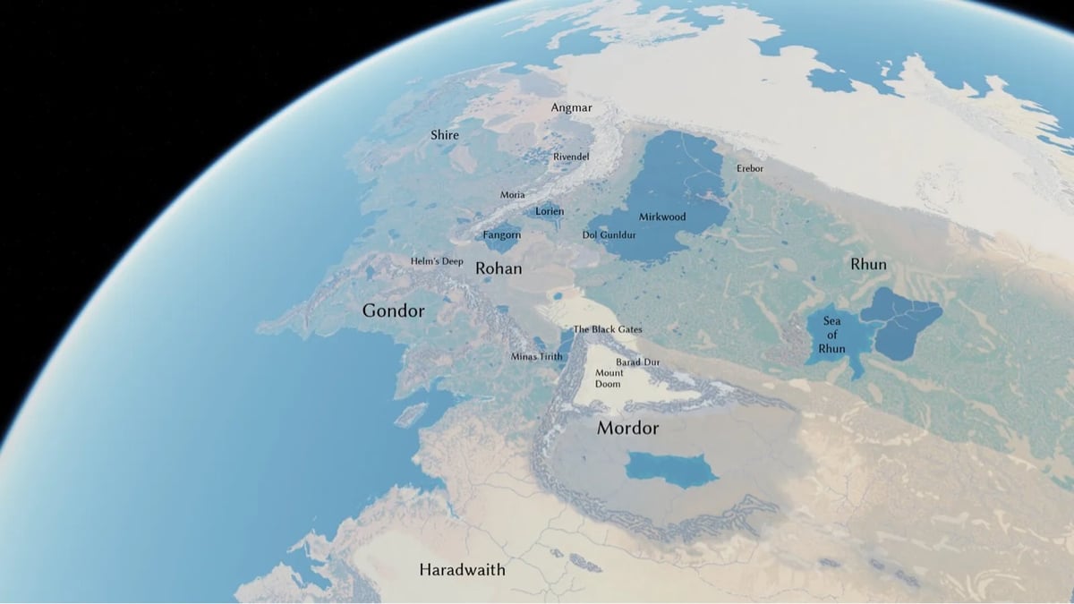
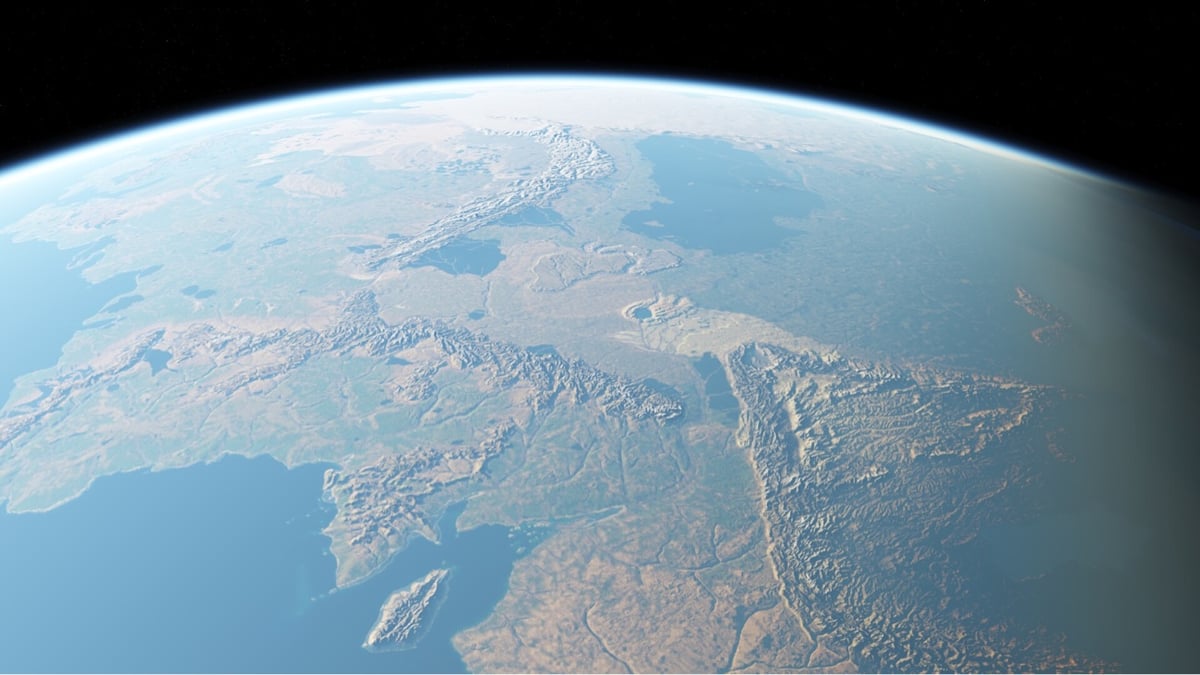
Using a 3D mapping engine, some Tolkien enthusiasts built a model of Middle Earth that can be viewed from any angle, from the surface to an orbital vantage point.
See also an interactive map of Middle Earth. (via @tonypeak78)
Comments 3
How sick would it be to 3D print a globe of this model.
How much money would Stephen Colbert pay for such an object?
So many PHP errors throughout the last link - might want to remove that. http://lotrproject.com/map/#zoom=3&lat=-1315.5&lon=1500&layers=B
If you feel like this comment goes against the grain of the community guidelines or is otherwise inappropriate, please let me know and I will take a look at it.
This thread is closed for new comments & replies. Thanks to everyone for participating!