How Cartography Powered Global Exploration
First You Make the Maps is a survey of mapping technology by Elizabeth Della Zazzera showing how, starting at the end of the Middle Ages, better maps facilitated the European discovery of the Americas, the explosion of global trade, the enslavement of Africans, and the colonization by Europeans of much of the world.
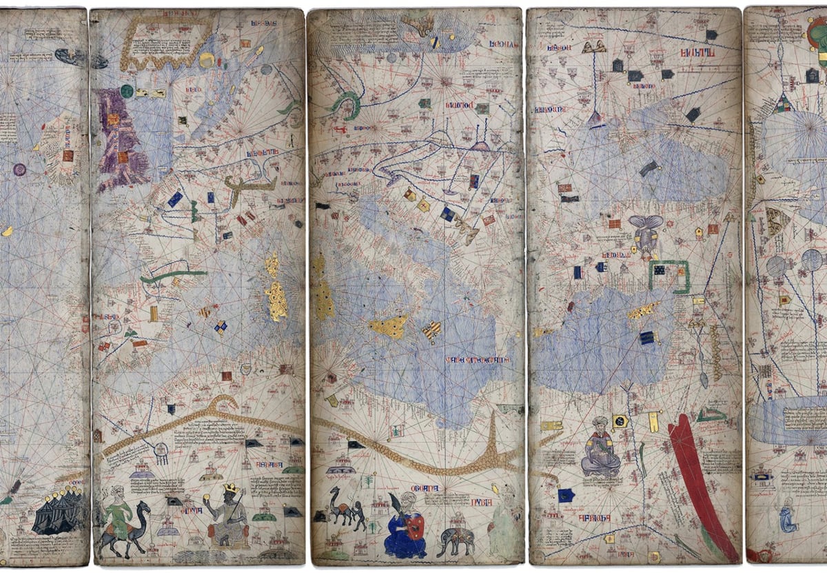
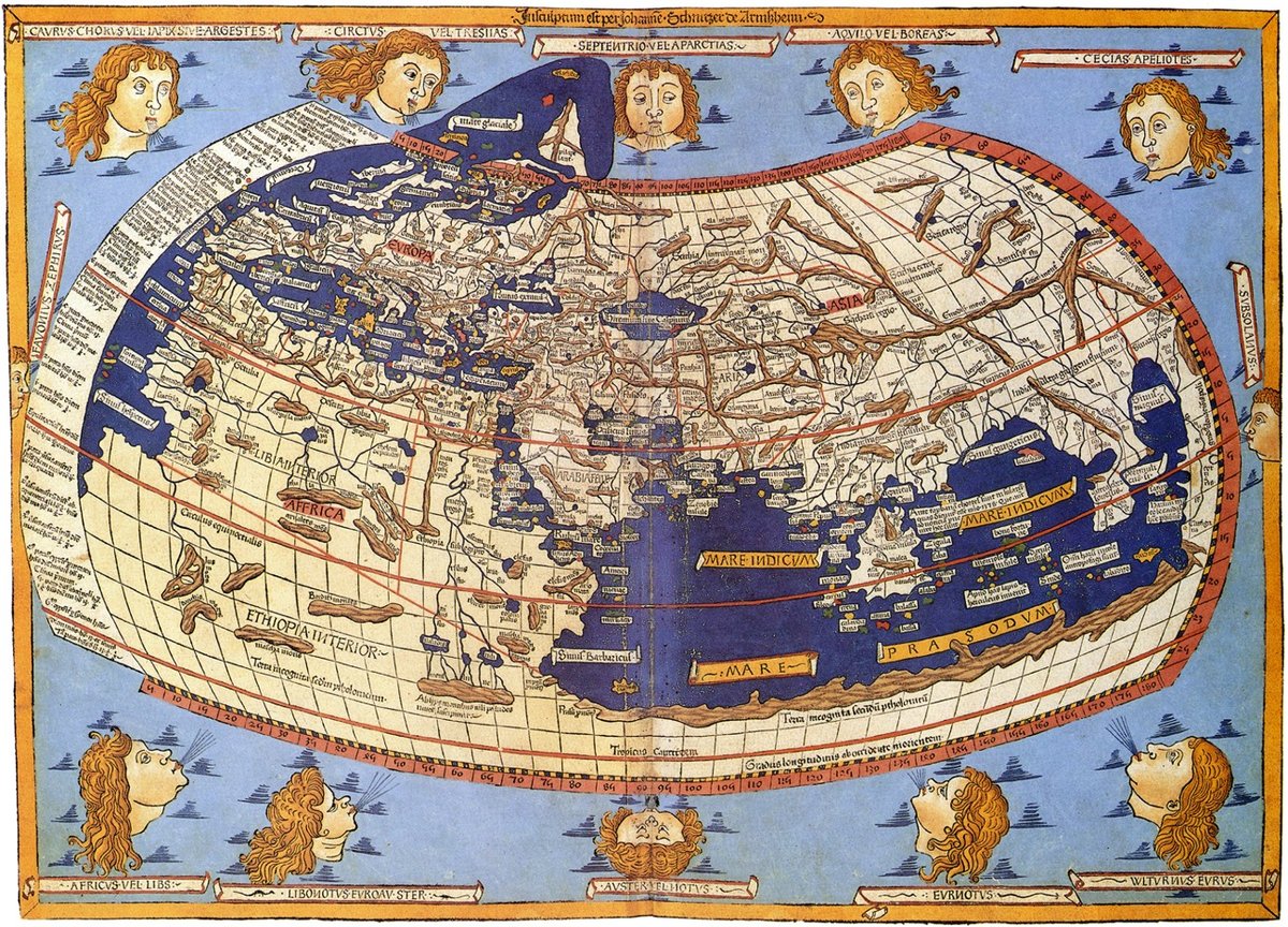
While geographically accurate maps had existed before, the Age of Exploration saw the emergence of a sustained tradition of topographic surveying. Maps were being made specifically to guide travelers. Technology progressed quickly through the centuries, helping explorers and traders find their way to new imperial outposts — at least sometimes. On other occasions, hiccups in cartographic reasoning led their users even farther astray.
(via @ktguru)
Socials & More