Satellite images taken at an angle
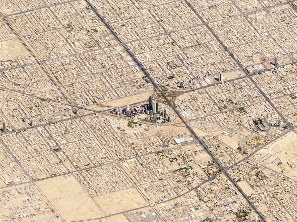
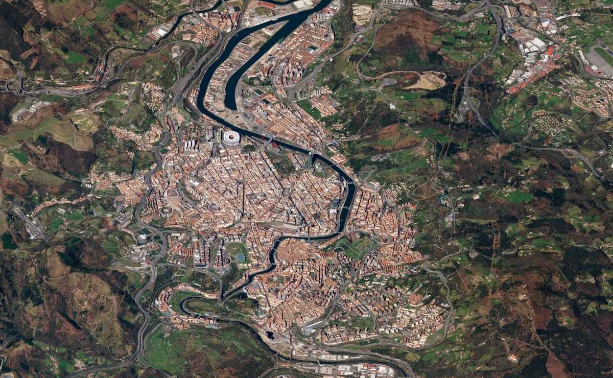
Planet Labs has published a selection of satellite images taken at an angle rather than the more familiar straight-down view.
Once a matter of debate, we know today the Earth is not flat. But the satellite imagery we’re most familiar with — taken straight down — flattens and obscures the visual cues we get from perspective, making the imagery appear like maps, not photos.
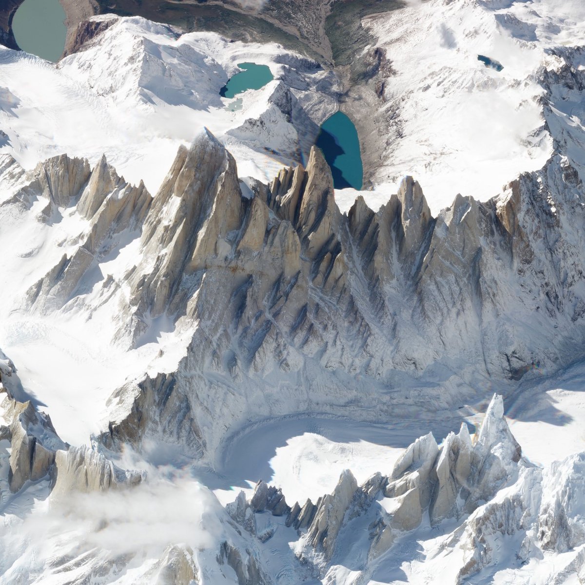
Take for example this nadir view of Monte Fitz Roy. You might not appreciate that these are mountains unless you spot the clue in the jagged shadows coming off the mountain’s serrated summits.
When you take an image of Monte Fitz Roy from an angle, the view becomes altogether different: the mountains rise to their commanding height, valleys regain their depth, and background features recede into the distance. It’s like getting a view out the window of an airplane 450 kilometers high.
Socials & More