The United Red and Blue States of America

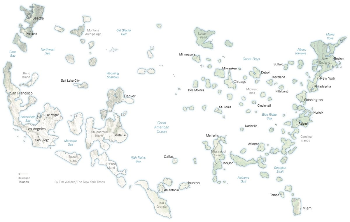
The New York Times took a map of the US and split it in two based on areas that voted for Clinton and Trump in the 2016 election. (Clinton’s map is pictured above.)
Mrs. Clinton’s island nation has large atolls and small island chains with liberal cores, like college towns, Native American reservations and areas with black and Hispanic majorities. While the land area is small, the residents here voted for Mrs. Clinton in large enough numbers to make her the winner of the overall popular vote.
That’s fun, but it’s another reminder of how strictly geographical maps distort election results.
P.S. They missed a real opportunity to call the chain of islands in the southern states The Cretaceous Atoll.


Stay Connected