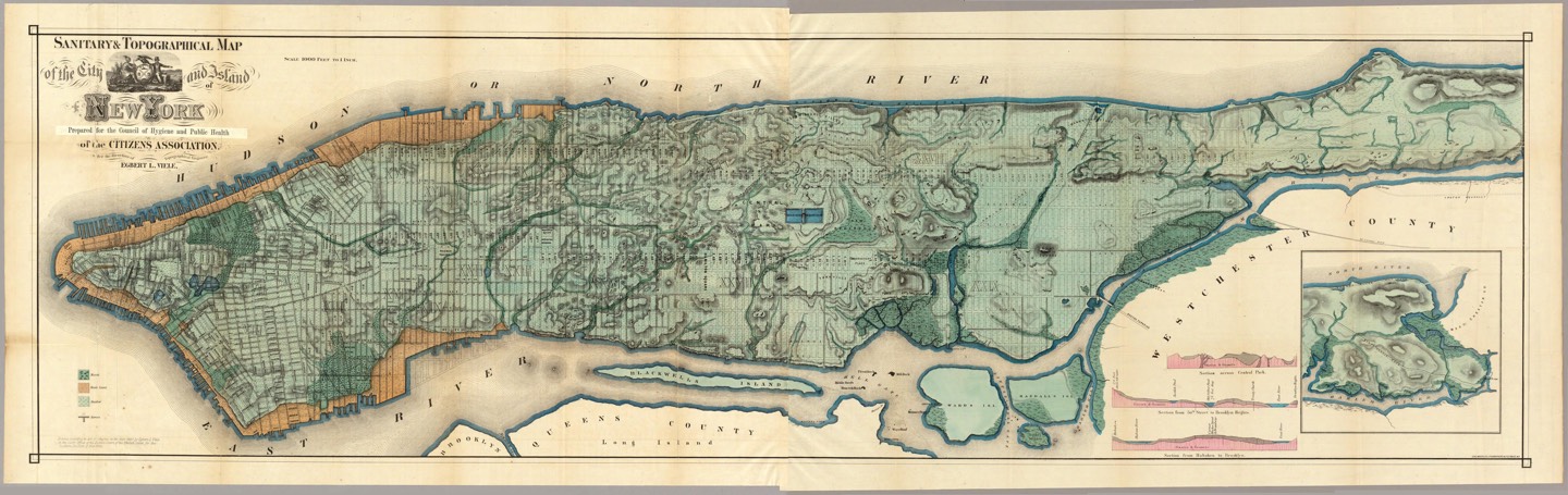
This is a zoomable, dragable version of the Viele Map of Manhattan, a map drawn in 1865 of the original boundaries and waterways of Manhattan. It is still in use today by developers, civil engineers, and architects. More information on this map is available at the David Rumsey Map Collection.
Map data from the David Rumsey Map Collection. Image viewer powered by Zoomify. A full high-res image of the Viele map is here (9859 x 3115, 8.6 Mb).

You're visiting kottke.org. All content by Jason Kottke (contact me) unless otherwise noted, with some restrictions on its use. Good luck will come to those who dig around in the archives. If you've reached this point by accident, I suggest panic.